https://forum.flightgear.org/viewtopic. ... 63#p294220@Guzzi948 wrote:I have tried increasing the altitude of the airport using WED, converting it using the X-plane Airport Web Generator, all with no luck.
FGviewer shows a grey shape on a black background, and flightgear puts me in a paddock.
Looking at YBOK which displays OK in FlightGear, looks similar in FGviewer.
Hi Guzzi.
- As far as I am informed, Xplane airport generator is planely useless for FG. The way how Xplane and FG manage terrain generation is different to the point of total incompatibility, so no need to go there
- The webpage pommerschranke advised you above create layouts for testing. It does not take elevation into account. You wont be able to merge the result of that page within your scenery and expect to have a good outcome
- The only solution I know to import a new aiport in FG scenery is to run the terrain generation suite for FG with all the correspoding proper data sources (all of which are GPL) and you obtain a new terrain built, that if properly done (and it is not easy nor properly documented elsewhere), you would be able to either merge to your terrain, or use standalone, or create scenery repositories with it.
Read here to begin getting some grasp:
http://wiki.flightgear.org/Using_TerraGear - Flightgear knows of the existence/location and feature of an aiport using a database in gzip format. You'll find it in your FG_ROOT (fgdata, which is different locations depending on your installation /
Code: Select all
/pat/to/fgdata/Airports/apt.dat.gz
If this database does not contain a new airport, you wont be able to launch in the airport directly --regardless of whether you patch scenery to have the airport available. While FG is initializing, this airport contain the data informing FG about whether such airport you tried launching exists. Short of patching the content of such file, the solution is launching FG using --lat, --lon, --heading, coordinates. This will place you exactly where you want to go (see below).
Now, Understanding that you want to do requires a bit more immersion into how FG terrain is constructed and work, and it will take you a good time to learn it with help, and even more in the absence of collaboration seen in the forum,
I decided to construct this airport and make it ready in terraGIT. This way you can simply install terraGIT, install the tile this airport is located, (or alternative install, lets say, Australia), and simply launch and enjoy YBWW.
YBWW in terraGITI installed the airport already. If you get it from terraGIT is going to look like this:
[terraGIT]

wherease in the same coordinates, terrasync content looks like this:
[terrasunk]
 Installing terraGIT content
(You need to install git software first, and have access to a git shell, request for more information if needed)
install TerraGIT
Code: Select all
git clone https://github.com/FGMEMBERS-TERRAGIT/terraGIT.git
cd terraGIT
install the tile containing the airport of interest (terraGIT contains all the world), YBWW is on the tile e150s30
Alternatively, install, lets say, all Australia
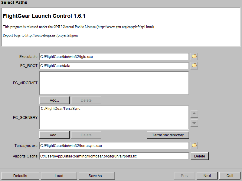
Use the terraGIT directory as your scenery path for FGLaunching coordinates.Naturally, you can just launch in a nearby airport (Brisbane, per exampe --which has beautiful models in terraGIT), and arrive YBWW flying there. But if you want to launch directly in the airport and take off from here, use, as mentioned above proper parking positions coordinates for the gate.
The following launching coodinates are indicated in the apt.dat file used to construct the airport and they are good starting points
(notice my image of a USA Pegasus tanker ready to depart YBWW)


Code: Select all
--lat=-27.55747779 --lon=151.78781930 --heading=45.00
--lat=-27.55814999 --lon=151.78859056 --heading=42.65
--lat=-27.55979035 --lon=151.79080155 --heading=42.65
--lat=-27.56049206 --lon=151.79170031 --heading=42.51
--lat=-27.56104430 --lon=151.79240366 --heading=43.60
--lat=-27.56150501 --lon=151.79294609 --heading=45.00
--lat=-27.56505603 --lon=151.79732370 --heading=314.29
--lat=-27.56475054 --lon=151.79764347 --heading=316.93
--lat=-27.56446119 --lon=151.79792192 --heading=313.32
--lat=-27.56422284 --lon=151.79818091 --heading=312.22
And that's it
Have fun, and safe landings
IAHM-COL


